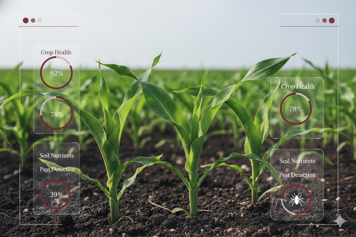
Data Annotation & Labeling
Structure agricultural imagery and field data with precise labels for crops, soil conditions, pest damage, land use, and regenerative farming indicators.
Learn More ->
Industry
Bringing cutting-edge AI and data expertise to generate faster, smarter, and cost-effective results for agriculture businesses.









Structure agricultural imagery and field data with precise labels for crops, soil conditions, pest damage, land use, and regenerative farming indicators.
Learn More ->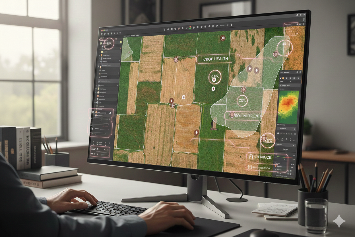
Map and validate field boundaries using QGIS, orthomosaics, and geospatial workflows to support monitoring, verification, and carbon impact reporting.
Learn More ->Proof points from production-grade data operations.
Case Study
4.5M
Images annotated
460+
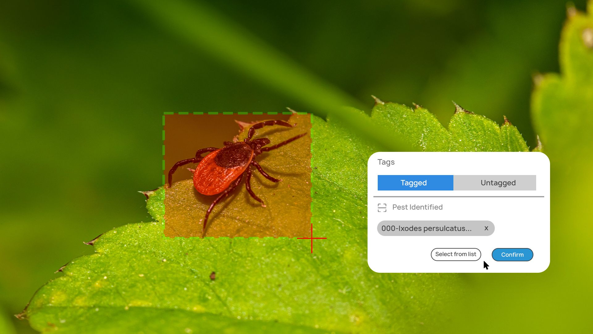
Weed species tagged
50%
Annual increase in annotation capacity
Case Study
300K+
Hectares covered
7
AI models developed
96%+
Precision achieved
Case Study
10,000+
Video clips processed weekly
3-day
Turnaround SLA consistently met
Case Study
500,000
Plots generating imagery annually
3 workstreams
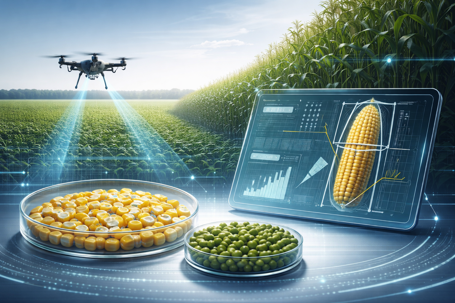
Kernel segmentation and ear height detection
Model-in-the-loop
Methodology for rapid development
Case Study
800+
Images delivered per week
Annotate smarter, map better, and scale your agri-tech vision from field to cloud.